Signal Hill is a hill which overlooks the city of St. John’s. Due to its strategic placement overlooking the harbour, fortifications were built on the hill beginning in the mid 17th century.
Click here for more: https://www.pc.gc.ca/en/lhn-nhs/nl/signalhill
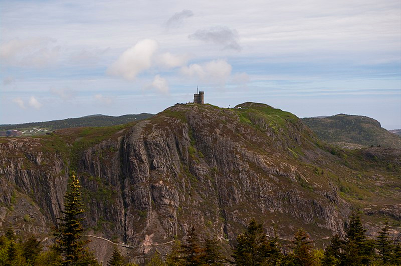
The Johnson Geo Centre is a geological interpretation centre located on Signal Hill, St. John’s. Most of the centre is located underground, in an excavated glacial formation that shows the exposed bedrock of the hill. The museum is named for philanthropist Paul Johnson and opened in 2002.
Click here for more: https://www.geocentre.ca
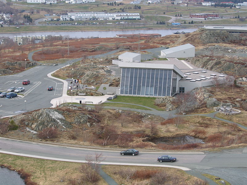
The Rooms is a cultural facility in St. John’s. The facility opened in 2005 and houses the Art Gallery of Newfoundland and Labrador, the Provincial Archives of Newfoundland and Labrador and the Provincial Museum of Newfoundland and Labrador.
Click here for more: https://therooms.ca
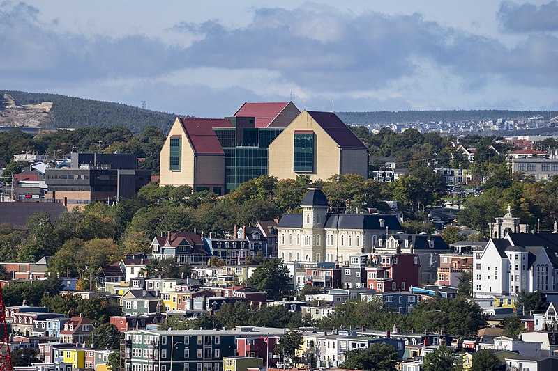
The Suncor Energy Fluvarium, also known as the Fluvarium, is a public centre for environmental education, located in St. John’s, and is operated by the Quidi Vidi/Rennie’s River Development Foundation.
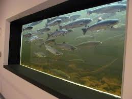
The Fluvarium level, or “windows on a stream” area, features an underwater view of Nagle’s Hill Brook through nine large viewing windows. Visitors can observe brown trout and salmon living in their natural habitat. The center also has a series of natural water aquariums and terrariums that showcase fish and amphibian species found throughout Newfoundland and Labrador.
Click here for more: www.fluvarium.ca
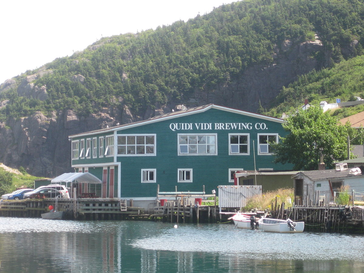
Newfoundland’s largest craft brewery. Home of 7 award winning ales and lagers, including Iceberg Beer! Beer Tastings & Brewery Tours (Cost = $10+tax)
Click here for more: www.quidividibrewery.ca
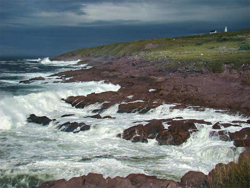
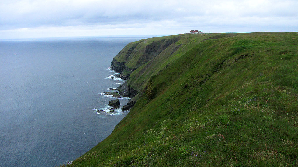
Cape Spear, located on the Avalon Peninsula near St. John’s, is the easternmost point in Canada[1] (52°37’W), and North America, excluding Danish-controlled Greenland. Cape Spear is within the municipal boundaries of the city of St. John’s, located about 2 miles (3.2 km) from Blackhead, an amalgamated area of St. John’s.
The Portuguese named this location “Cabo da Esperança” which means “cape of hope”, which became “Cap d’Espoir” in French and finally “Cape Spear”. Cape Spear is the trailhead/trail end for two components of the East Coast Trail.
Click here for more: https://www.newfoundlandlabrador.com/top-destinations/cape-spear
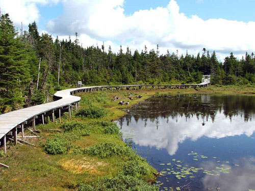
A 3km boardwalk trail winds through a mixture of woods and wetlands. Along the way, over a dozen species of wildlife are displayed in sensitively designed enclosures. Visit this unique park to view moose, caribou, lynx, foxes, owls, and otters, just to name a few, while enjoying a relaxing stroll through the boreal forest of Newfoundland and Labrador. Visit our new Wildlife Discovery Centre to see displays on Newfoundland & Labrador’s wildlife!
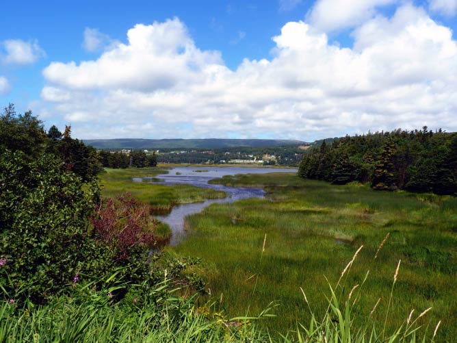
The Manuels River is located in the eastern portion of the town of Conception Bay South, Newfoundland and Labrador. It forms on the high lands of the central Avalon Plateau, traverses approximately 10 kilometers of terrain and empties into the waters of Conception Bay. The river is accessible via walking trails, which start at the Manuels River Hibernia Interpretation Centre located on the Conception Bay Highway.
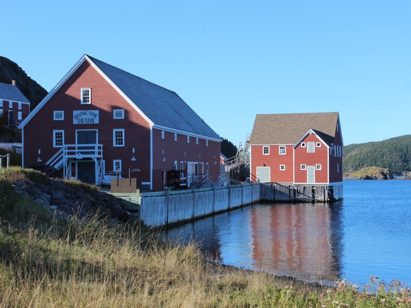
Every summer and fall Rising Tide Theatre presents an award winning blend of plays that reflect the history and culture of Newfoundland performed by more than 40 of the Province’s most talented artists in one of our most magnificent settings
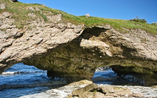
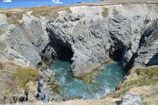
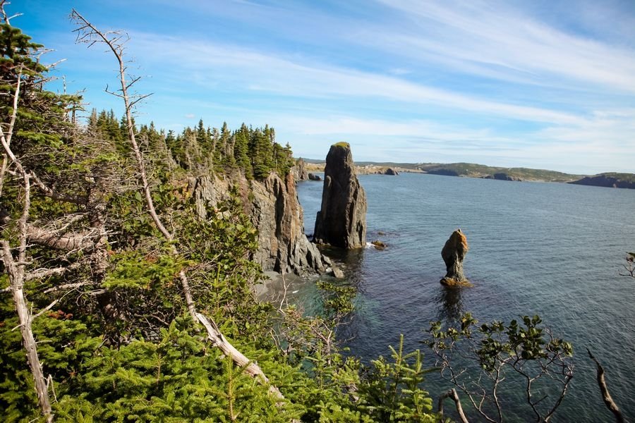
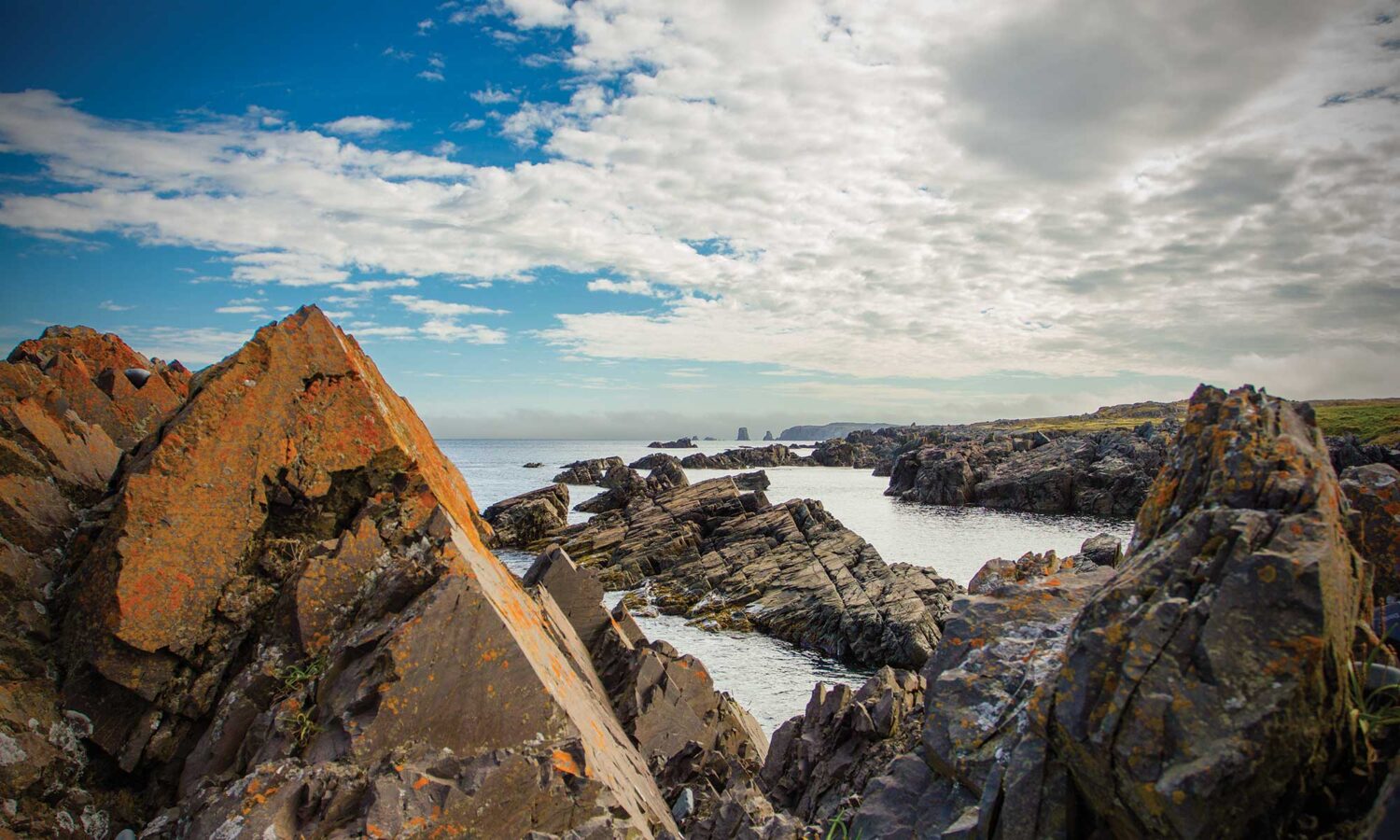
Discovery UNESCO Global Geopark invites you to discover a little more about your geological past. Located on the upper half of the Bonavista Peninsula on the eastern coast of the island of Newfoundland, Discovery has a variety of sites where you can tour and learn about the Earth.
The Geopark is located on the upper half of the Bonavista Peninsula and is positioned along a series of highways aptly named the “Discovery Trail”, via Route 233 or 230. The Geopark covers an area of 1150 km2 and spans over 280 km of rugged, untouched, coastlines and landscapes. This historic region is known for its colorful cultural and enchanting stories. Adventure awaits as you travel along scenic driving routes, explore national and provincial attractions, hike, boat, and breathe in the breathtaking coastal scenery and dramatic rock formations.
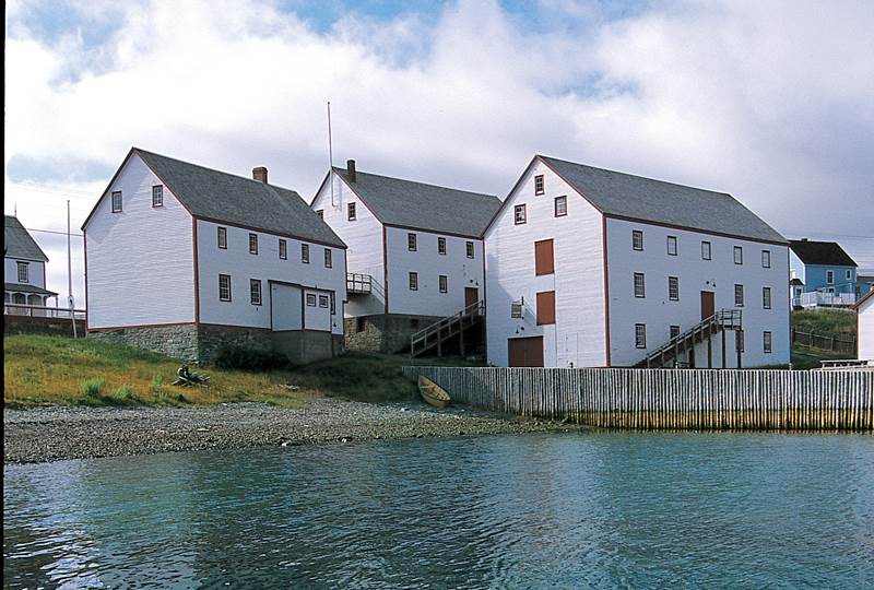
The Ryan Premises is a National Historic Site of Canada located in the town of Bonavista. It is preserved as an example of a large-scale merchant operation in a Newfoundland outport.
The site consists of the proprietor’s house, a carriage shed, a retail shop, a retail store, a fish store and a salt store.The staff house, adjacent to but not part of the historical site, is a Registered Heritage Structure. Earlier, the premises also included a larger salt store, a cooperage, a powder magazine, a telegraph office, wharves, fish flakes, a lumber yard and a shipyard.

Western Brook Pond fjord in Gros Morne National Park provides a dramatic setting for a boat tour. The Long Range Mountains, the northernmost extent of the Appalachians, contain numerous glacially-carved fjords. One of the most spectacular is the Park’s largest lake, Western Brook Pond. This 16 kilometre lake with a depth of 165 metres is home to Atlantic Salmon, Brook Trout, and Arctic Char, as well as an unusual colony of cliff nesting gulls.
There is no better way to explore this scenic delight than by taking the Western Brook Pond Boat Tour. On board, behold the spectacular glacier-carved land-locked fjord, waterfalls cascading from 2000 feet that often turn to mist before reaching the pond, billion year-old cliffs, and frequent wildlife sightings
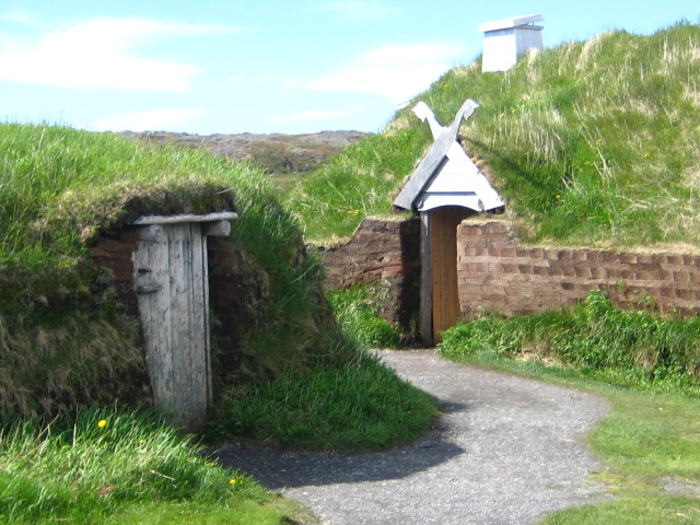
Norse sagas had spoken of their discovery for centuries. But whether it was merely myth had always been debated. Until the discovery of a small cloak pin in 1968, by archaeologists Helge and Anne Stine Ingstad, changed everything. This and subsequent archaeological discoveries proved Leif Erickson and crews of Norse explorers settled here in Newfoundland and Labrador (or Vinland as they called it).
L’Anse aux Meadows National Historic Site, a UNESCO World Heritage Site, is the only authenticated Norse site in North America. Today, your visit will transport you back to where Vikings once stood. At the Viking Encampment, you can try blacksmithing or weaving, and talk to characters who will bring the Viking history to life. In the evenings, gather around the skáli (kitchen) and hear heroic and tragic tales of Thor, Loki, Erik the Red, and more from the Sagas.
